Rehabilitation & Monitoring Services
Evidence-based rehabilitation design and long-term monitoring for mine closure
Rehabilitation that meets regulatory standards and supports progressive relinquishment requires more than planting and hoping. It requires completion criteria anchored to agreed benchmarks, monitoring programs that track the right metrics, and analytical methods that can separate signal from noise in the trajectory data.
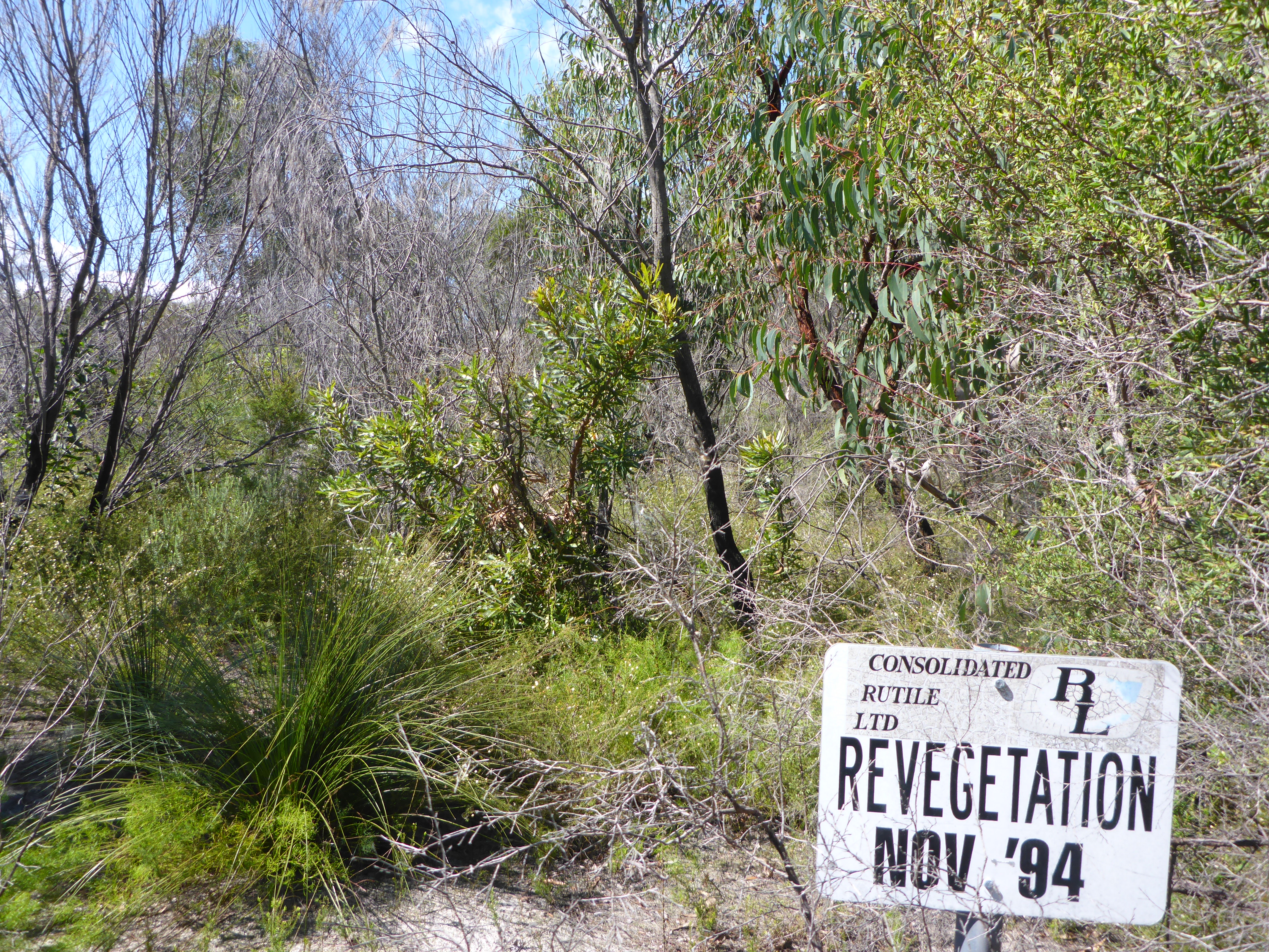
We’ve monitored rehabilitation across six mining provinces and authored Queensland’s leading practice guidelines for native ecosystem rehabilitation. Our work supports operators from rehabilitation planning through to final relinquishment.
Completion Criteria Development
Defensible completion criteria that balance ecological function with regulatory requirements and post-mining land use. We develop criteria using reference-site benchmarking, literature review, and statistical methods that account for natural variability.
- Criteria design workshops with operators and regulators
- Reference-site selection and baselining
- Statistical threshold setting
- Integration with existing closure and monitoring frameworks
Rehabilitation Monitoring Programs
Permanent plot networks designed to track rehabilitation trajectory against completion criteria. Monitoring designs are statistically defensible, scalable, and structured to support adaptive management recommendations.
- Annual and multi-year monitoring programs
- Permanent plot establishment and ongoing measurement
- Trajectory analysis and performance reporting
- Early-warning indicators for intervention triggers
Reference Site Assessment
Ongoing monitoring of reference (analogue) sites to provide the benchmarks against which rehabilitation performance is assessed. Reference sites are selected to represent target ecosystem states under the same climatic and edaphic constraints as rehabilitation areas.
- Reference site selection and establishment
- Synchronous monitoring with rehabilitation sites
- Analysis of natural variability and temporal dynamics
- Refinement of completion criteria based on reference data
Spatial and Remote Sensing Analysis
LiDAR-derived canopy metrics, multispectral vegetation indices, and time-series change detection to complement field monitoring and provide landscape-scale context.
- Canopy height, cover, and structural complexity metrics
- NDVI and vegetation index time-series
- Spatial pattern analysis for landscape function assessment
- Integration of field and remotely-sensed data
Closure Documentation and Relinquishment Support
Evidence synthesis and reporting to support progressive relinquishment applications. We prepare closure documentation that aligns field data, spatial analytics, and regulatory requirements into a coherent narrative.
- Relinquishment evidence packages
- Regulatory submission support
- Closure-readiness audits
- Post-relinquishment monitoring design