Native Ecosystem Rehabilitation Research
Produced a series of published detailed practical guidelines to help policymakers and practitioners evaluate native ecosystem rehabilitation options for Queensland.
Aspect Ecology is a specialist consultancy delivering flora surveys, rehabilitation assessments, and long-term monitoring across northern and eastern Australia. Evidence-based work, defensible reporting, durable outcomes.
Deep botanical knowledge built from years of field work across diverse Australian ecosystems. Efficiency through on-the-spot identification. Seed ecology knowledge informs species selection and establishment planning.
Mine closure ecology expertise spanning completion criteria development, reference site benchmarking, and the evidence synthesis required for regulatory sign-off.
Spatial analytics and GIS capability. LiDAR and canopy analysis. Statistical modelling for trajectory and community similarity assessment. Data visualisation that supports decision-making.
Experienced specialists collecting field data. Digital field capture with built-in validation. Research-grade analytical workflows. Full audit trail from field to final report.
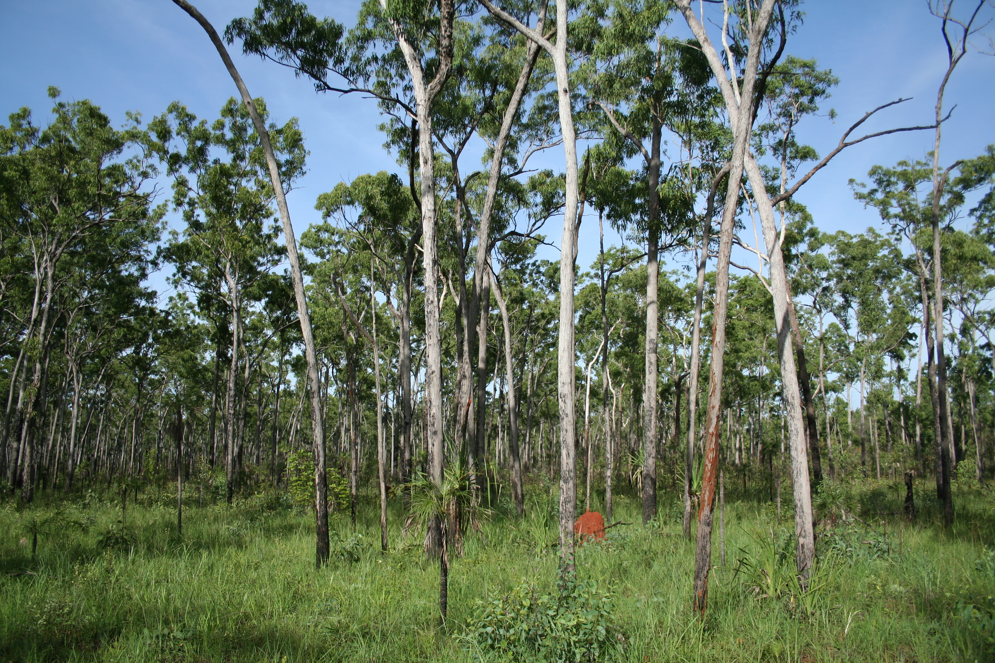
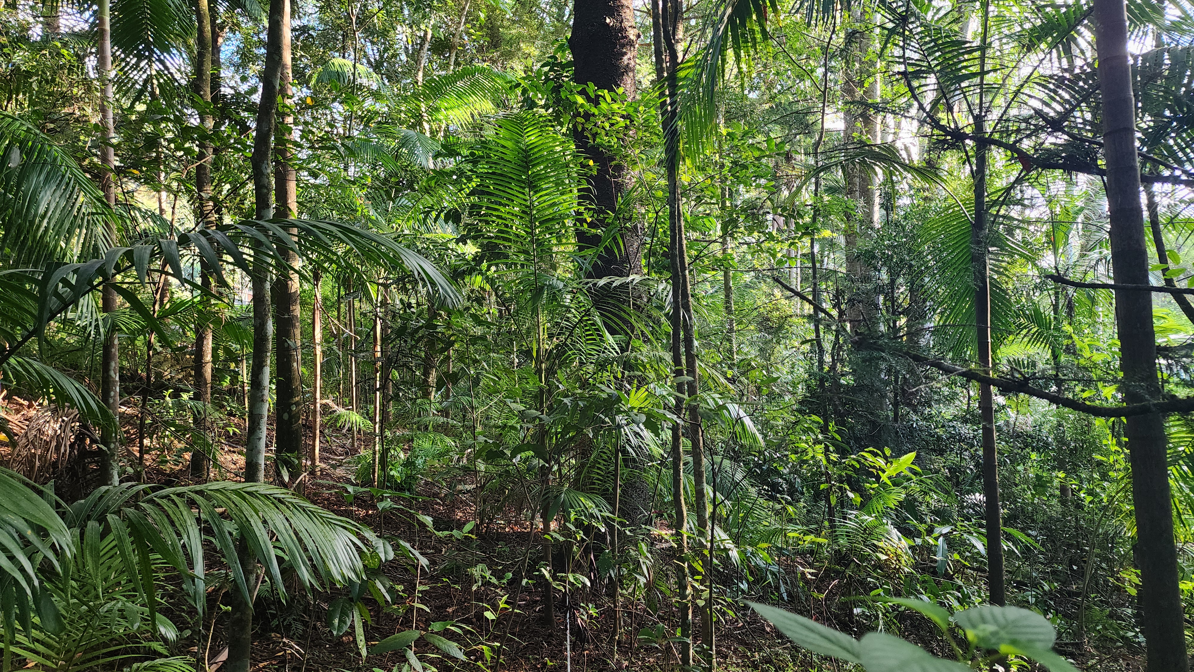
From baseline survey through to closure monitoring, our work follows the same technically rigorous approach—whether the site is 5 hectares of remnant bushland or 30,000 of post-mine landform.
Targeted surveys, vegetation mapping, and threatened species assessment to EPBC and state guideline standards.
Completion criteria design, seed-mix specification, and reference-site framing to meet final land use requirements.
Statistical analysis and interpretation, rehabilitation trajectory modelling, remote sensing and spatial analytics.
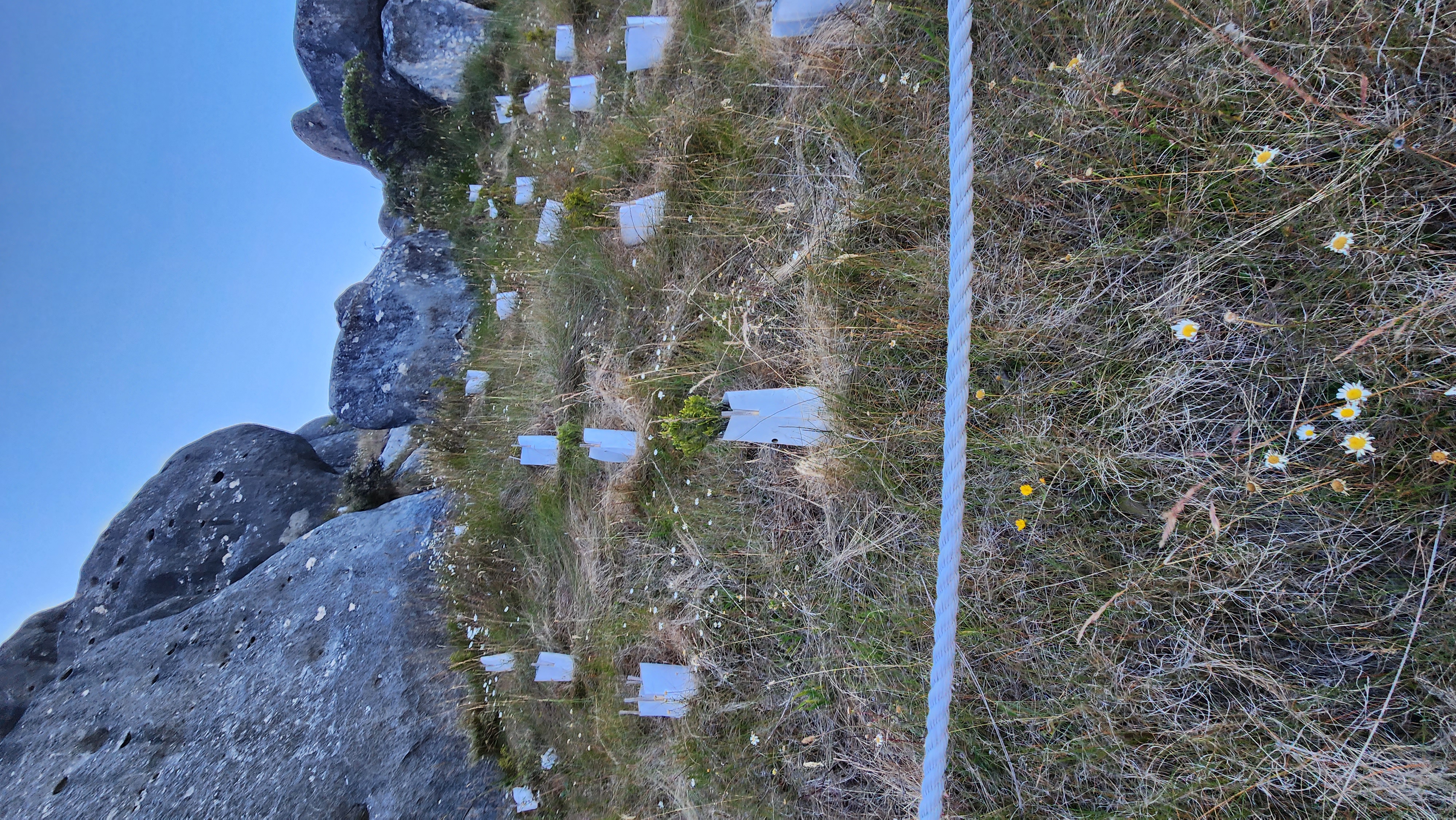
Permanent plot networks and statistically defensible designs for annual and multi-year monitoring programs.
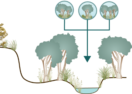
A repeatable three-stage process that scales from a single survey to a multi-year program. Same rigor, sized to the site.
Define the question. Pin down regulatory drivers, agreed metrics and reference conditions before a boot hits the ground. Outputs: scope memo, sampling design, statutory checklist.
Targeted, season-appropriate fieldwork by experienced ecologists. Voucher specimens where required, imagery, and full data capture into a versioned spatial database. Analysis is reproducible.
Reports written for the audience that has to act on them. We stand behind the work — through panel review, regulator queries, and over the multi-year horizon a closure or monitoring program demands.
We’ve assessed rehabilitation progress across six mining provinces and authored Queensland’s leading practice guidelines for native ecosystem rehabilitation. Our monitoring programs provide the evidence base regulators require and the trajectory data operators need to demonstrate closure readiness.
Learn about our rehabilitation & monitoring servicesA representative slice of our project list.
Produced a series of published detailed practical guidelines to help policymakers and practitioners evaluate native ecosystem rehabilitation options for Queensland.

Biodiversity Development Assessment Report mapping vegetation and documenting threatened species; an impact summary was presented and associated biodiversity credit report produced.
Annual monitoring against pasture and woodland targets.
Short-form practice notes from the field and the desk. Aimed at proponents, regulators and the practitioners we work alongside.
Mine rehabilitation targeting native ecosystems faces a fundamental question: what does success look like? The instinctive answer—’restore what was there before’—overlooks a reality that three decades of rehabilitation science has made clear…
Read methodMining fundamentally alters the abiotic building blocks of a landscape. Modern rehabilitation science focuses on designing functional, self-sustaining ecosystems carefully matched to post-mining realities…
Read noteMine closure is managed across multiple disciplines, but they lack a common integrating framework. Closure ecology links these disciplines through ecological thinking—recognising that every closure decision ultimately shapes the ecosystems that must persist long after relinquishment…
Read noteTell us about the scope. We’ll come back with the approach, a timeline and a proper read on the regulatory drivers.